When running:
#defaultView:Map
SELECT ?item ?itemLabel ?district ?districtLabel ?coords ?FindaGrave WHERE {
  ?item wdt:P31 wd:Q39614.
  ?item wdt:P17 wd:Q664 .
  ?item wdt:P131 ?district.
  SERVICE wikibase:label { bd:serviceParam wikibase:language "en" .
                         ?item rdfs:label ?itemLabel .
                         ?district rdfs:label ?districtLabel .}
  optional {?item wdt:P625 ?coords.}
  optional {?item wdt:P2025 ?FindaGrave.}
  filter(!strstarts(?itemLabel,"Burial"))
  filter(!strstarts(?itemLabel,"Midden"))
  filter (?item NOT IN (wd:Q79309412, wd:Q79309112, wd:Q79309436, wd:Q79311062, wd:Q23073922))
} order by ?districtLabel ?itemLabel
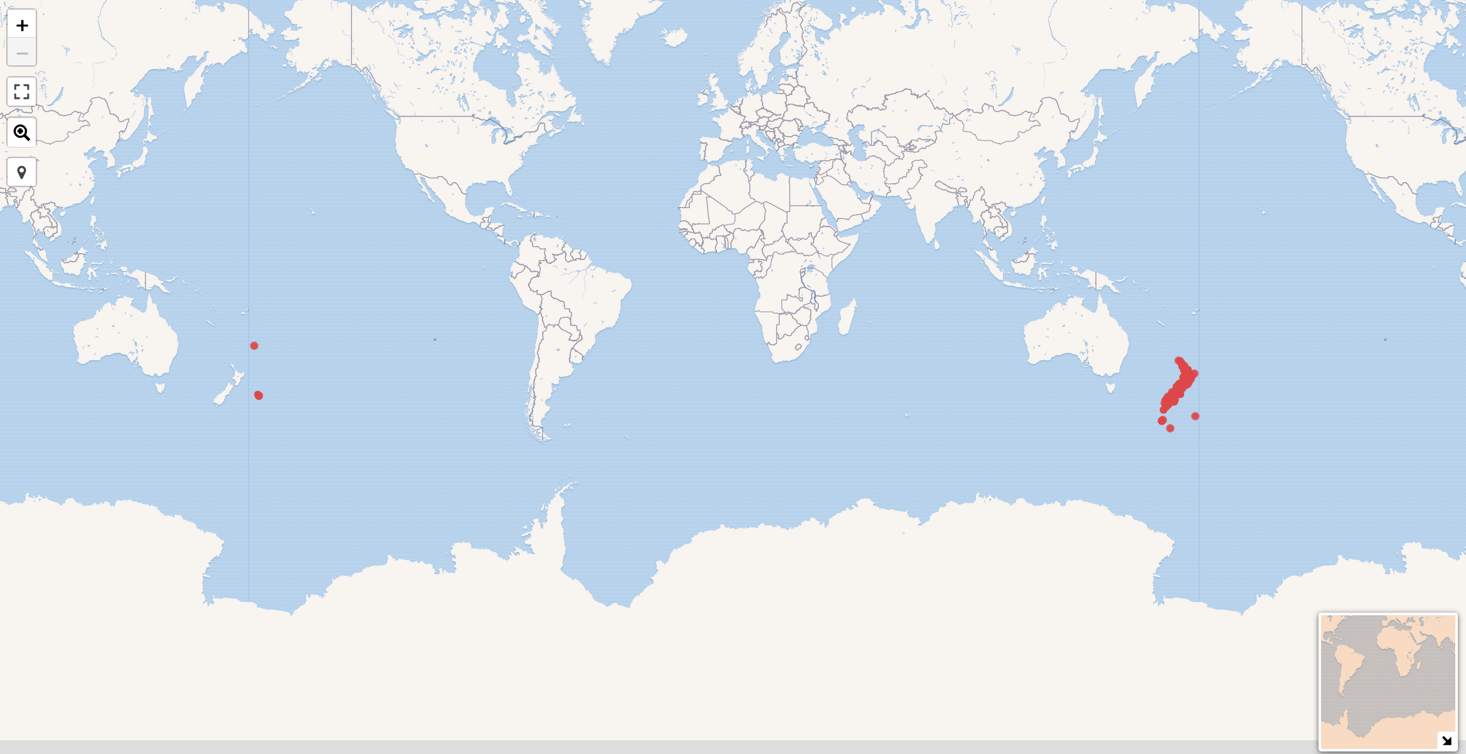
Instead of collocating the points close to each others they are displayed on the "same" map:
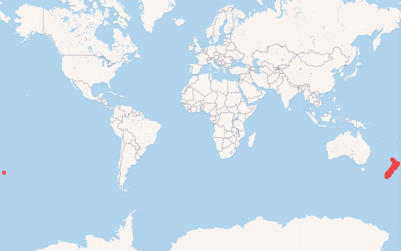
Ideal placement should be spread around the 180th meridian.
Might be related: https://stackoverflow.com/questions/38820724/how-to-display-leaflet-markers-near-the-180-meridian