Page MenuHomePhabricator

Display geopoint SPARQL queries in a map in Wikipedia (GeoPoints)
Closed, ResolvedPublic

Description

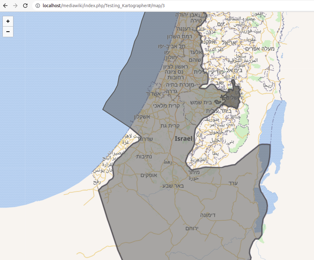
We want to display coordinates produced by a SPARQL query on a map.

Screenshot from 2022-02-18 17-59-45.png (459×413 px, 184 KB)

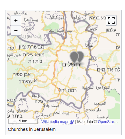
The development is based on the existing code to display GeoShapes:

input: id (example) | sparql query (example)

Screenshot from 2022-02-22 12-29-59.png (833×1 px, 529 KB)

Approach:

  • investigation 300042
  • proof of concept (see screenshot above)
  • define MVP

[x ] investigate best source for GeoPoint coordinates (OSM vs. Wikidata P625) T304859
[x ] Handle QIDs with multiple coordinates T306540

Related feature/epic: T307695: Display coordinate markers in Kartographer maps from QID

Related Objects

StatusSubtypeAssignedTask
OpenNone
ResolvedECohen_WMDE
ResolvedNone
Resolvedlilients_WMDE
ResolvedAndrew-WMDE
ResolvedNone
ResolvedLena_WMDE
Resolvedawight
Resolvedthiemowmde
ResolvedNone
Resolvedthiemowmde
ResolvedWMDE-Fisch
Resolvedlilients_WMDE
Resolvedthiemowmde
Resolvedawight
ResolvedNone
ResolvedECohen_WMDE
Resolvedthiemowmde

Event Timeline

Lena_WMDE updated the task description. (Show Details)
Lena_WMDE renamed this task from Display SPARQL queries in a map in Wikipedia (GeoPoints) to Display geopoint SPARQL queries in a map in Wikipedia (GeoPoints).Aug 31 2022, 3:21 PM
ECohen_WMDE claimed this task.
ECohen_WMDE subscribed.

Closing ticket as this feature has been deployed to all wikis