User Details
- User Since
- Jul 26 2022, 5:56 PM (91 w, 1 d)
- Availability
- Available
- LDAP User
- Unknown
- MediaWiki User
- JeLuF [ Global Accounts ]
Aug 4 2022
I just did a sample:
Aug 1 2022
In OSM, it usually doesn't make a difference whether I have a tag on a way or a relation, so this behaviour of the geoline API came as a surprise. I think T311203 perfectly covers this part of this bug report.
And I think the other part of this bug report is covered by T312913, so this bug report can be either closed or merged (I've been away for too long, don't know what's the prefered way to handle this).
Back to the original topic: Querying the geoshape works now most of the time (Behaviour is currently as described in T312913 - sometimes it works, sometimes an empty result is shown, sometimes 404). Trying to access the geoline however always returns an empty result set.
I wasn't aware that the OSM relationship attribute in Wikidata is being used for Kartographer. The howtos (at least the parts I read) only mention the wikidata tag in OSM. Is it recommended to link in both ways, especially considering the instability of way ids? I'm reluctant to add relations to simple 8-point lines in OSM just to get a stable id.
Another example:
https://maps.wikimedia.org/geoshape?getgeojson=1&ids=Q106908292 -- empty
https://maps.wikimedia.org/geoshape?getgeojson=1&ids=Q106908292&foo=3 -- works
https://maps.wikimedia.org/geoshape?getgeojson=1&ids=Q106908292&d=1 -- works
https://maps.wikimedia.org/geoshape?getgeojson=1&ids=Q106908292&x=1 -- 404
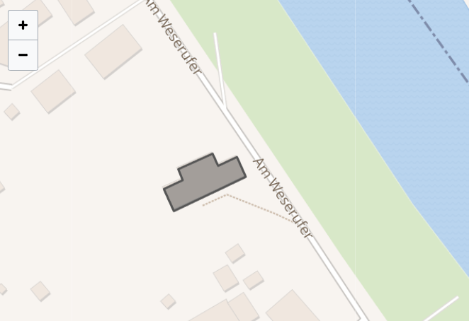
From: https://de.wikipedia.org/wiki/Hohes_Holz_mit_Ketzheide_und_Gew%C3%A4ssern -- Currently, the shape is visible in the PNG, not in fullscreen.
I assume there's some caching and replication involved in the entire setup (Is there any documentation of the architecture availble? Couldn't find it on first glimpse). Could it be related to a single rogue server in a load balanced farm behind some cache line? Because that's what it looks like to me. It works most of the time, sometime it breaks, but after a while, it is fine again.
@thiemowmde - does this mean that the ID that I have to provide is an OSM relation ID, not a wikidata QID? That's not what I understood so far.
Jul 26 2022
This happens to me for 1/3 of the pages to which I add maps. The maps come and go. The full size version works in my case, the geoshape is shown correctly: