Context
- Overlays (aka GeoShapes) are predefined objects on the map that are tied to latitude/longitude coordinates.
- These polygons and way objects (countries, roads, parks, etc.) are defined in OpenStreetMaps (OSM) and replicated to appear on the maps in wiki projects. (see an example below)
- Because these map overlays are defined in OpenStreetMap, they need to be synced with our infrastructure in order to display the objects and stylings in Wikimedia projects.
- There has been a substantial lag in the syncing of these 2 systems mainly due to a failure in the OSM replication tool, osm2pgsql, that performs the database updates.
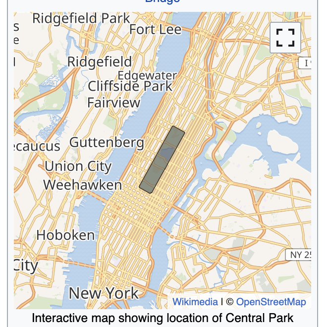
Map overlay of Central Park in New York City
Why
- For the community to provide a consistent experience of map overlays for all Wikimedia projects
- For the foundation, in order to reduce the cost of maintenance for the overall maps stack
Key Metics
| Hypothesis | Metric | Target |
| Map overlay latency reduces | OSM Sync Lag | < 3 days (99% of the time by EOFY) |
| Maintence effort reduces | Full-time Engineer effort on *incidents | < 10% (per quarter) |
*incidents only consider outages and do not include general maintenance or big fixes