The maps show location names in different languages. It's problematic in general (see T112948), but if they are shown in a certain language, then it should be at least rendered correctly.
What currently happens is that some location names are shown as squares. I'm not sure whether it's an issue on the server, on my machine, or on both.
Here's an example from Israel:

Some location names are shown correctly in Hebrew and Arabic, so displaying these languages in general is not an issue. But notice that some labels became squares (a.k.a. "tofu" in i18n jargon), and I really don't understand why, because Israel doesn't have any other languages. I don't even know what are these labels supposed to be.
See another example from Maldives:
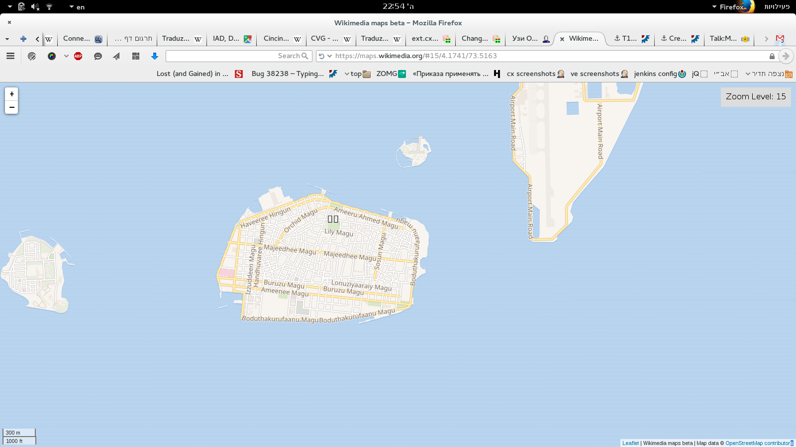
The street names are written The text in squares is possible "Male", the name of the capital of Maldives, written in Divehi, the languages of the Maldives. My computer has a Divehi font, so I suspect that it's an issue on the server.