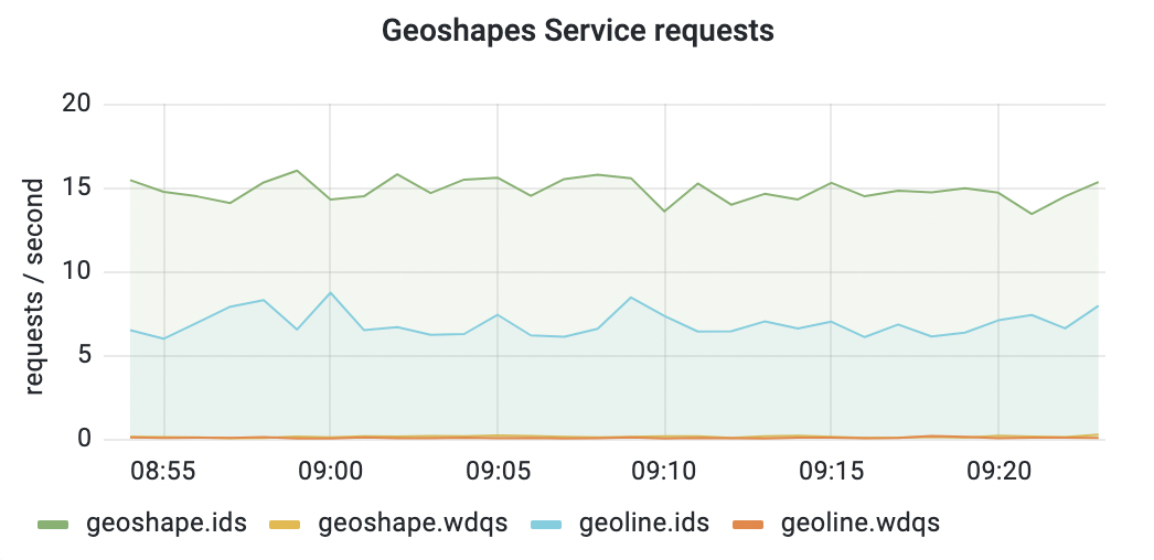
Description: Service to generate geometric shapes from OSM PostgreSQL data and WDQS queries
Timeline: Q4
Diagram: Data flow diagram, Maps backend diagram, and Maps deployment diagram
Technologies: nodejs
Point person: @MSantos
Background
As part of T263854: [Maps] Modernize Vector Tile Infrastructure work, geoshapes service will be extracted as a standalone service.
The service currently runs on bare-metal in maps20xx.codfw.wmnet and maps10xx.eqiad.wmnet and geoshapes access the PostgreSQL DB available in it
Acceptance Criteria
- Extract geoshapes into it's own service/repo
- Enable PG connections from k8s cluster to maps clusters
- Enabling the deployment-pipeline to generate the OCI (docker) container T302967
- Creating the helm chart itself in deployment-charts
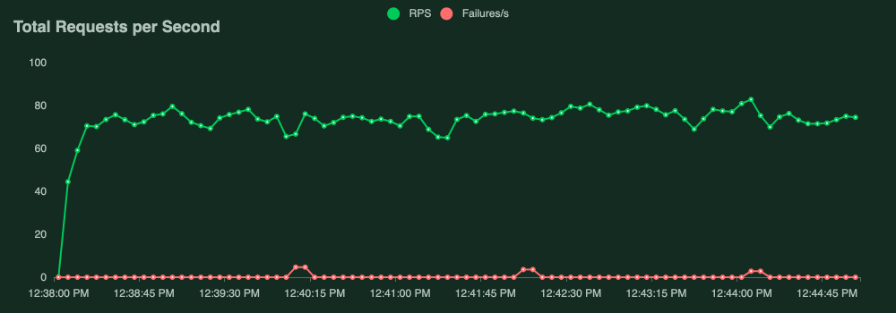
- Benchmark in a local env (if possible, don't go overboard we want coarse data, we 'll anyway have to finetune in real traffic)
- Creating the helm chart itself in deployment-charts
- Submit the helmfile.d/services stanzas for review and get them merged
- Creation of k8s namespaces/token (SRE side, open up a task and we will get it done)
- Do the actual deployment
- Set up LVS, DNS and discovery (that's strictly on SRE side)
- Set up the traffic layer to send traffic to the service
- Acceptance tests
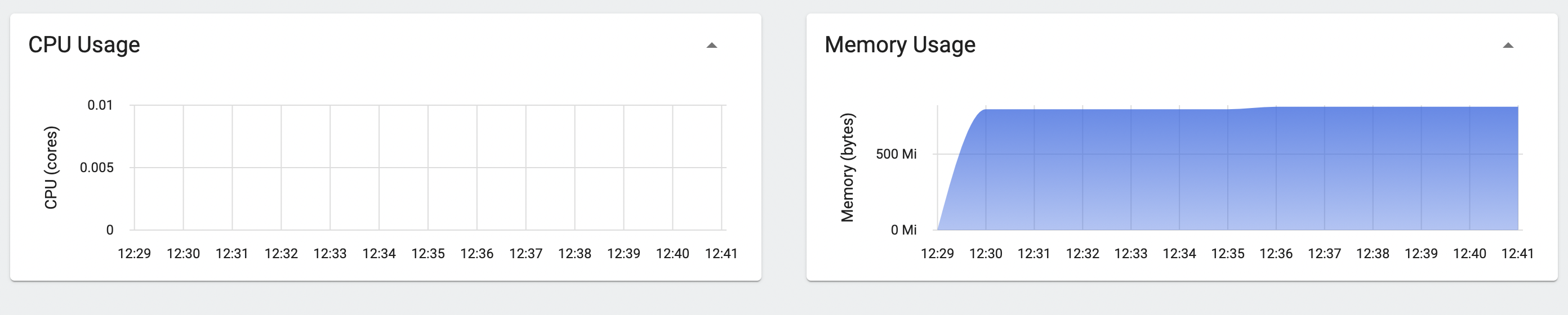
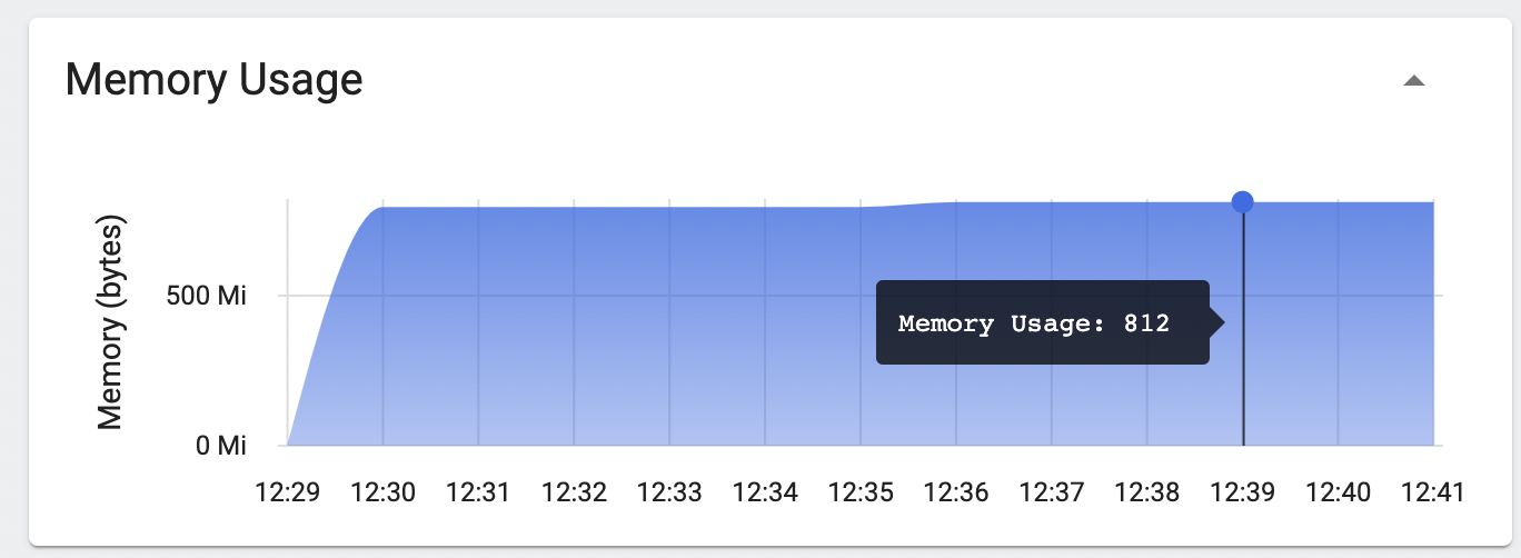
- Set up grafana dashboards