We want to investigate various ways that maps can be broken and record them. This will be used for future evaluation to decide which might be able to be improved, which might need error messages, etc.
Broken might mean missing information, parts of maps not loading or complete maps not loading. What are the different states, and different problems encountered in each? What are the types of information that can be missing? What does it looks like? If known from this investigation, also note the reasons for things not loading but this can be in follow-up tickets as well.
Different states to investigate (list incomplete, needs thought, just a starting point):
- Loading (nothing visible)
- Static maps not loading
- Dynamic embedded maps
- Full-screen dynamic maps
- Tiles not loading
- Geoshapes not loading (sometimes they load in the small and not the big, sometimes only the full screen but not small)
- Objects in OSM not visible
- Editing, preview, final
Review: Examples
Please add here as you come across more examples. Also check the notes section considering possible solutions.
| Category | Description | Screenshot | Notes | Potential improvements |
| Errors | Broken image icon | 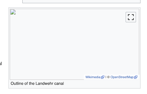 | Possible reasons: server down, ... | T309522 Render error on the server side with i18n support |
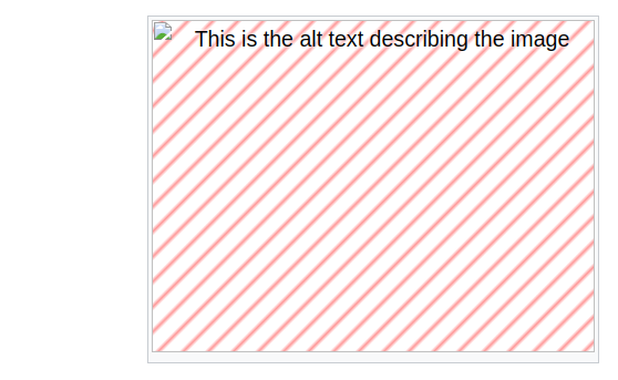
| Errors | Blank map image (static) |  | Happens when the mapdata group ID can't be loaded for an article, for example this image embedded in this article when "uselang=zn-cn" is included, thus. See the bug report T246314. | Should be able to serve a localized error message image. |
| Errors | [Dynamic?] Map doesn't load, but markers do | 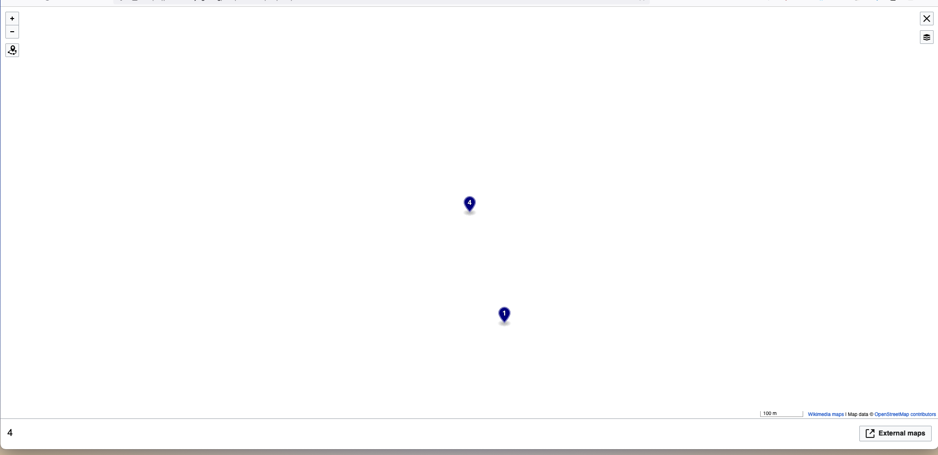 | Might be tile server issues | T309543 Add a note to the user when we have missing tiles |
| Errors | Map not visible in VE | 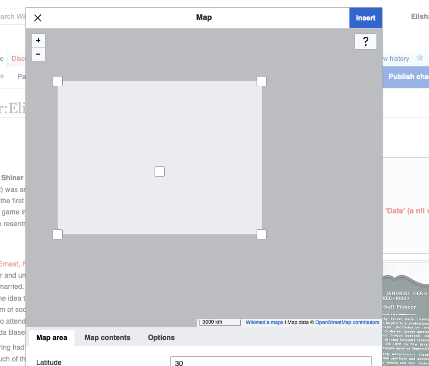 | - Should look into this, probably fixable - TBD TICKET | |
| Loading | [Static] Missing map while loading |   | The loading displays a broken map stage for a short time:  | T309541 Add a background image with a spinner or similar to static maps |
| Loading | [Dynamic] Missing features/broken map while loading | T309541 Add a background image with a spinner or similar to static maps | ||
| Loading | [Dynamic?] Map tiles missing | 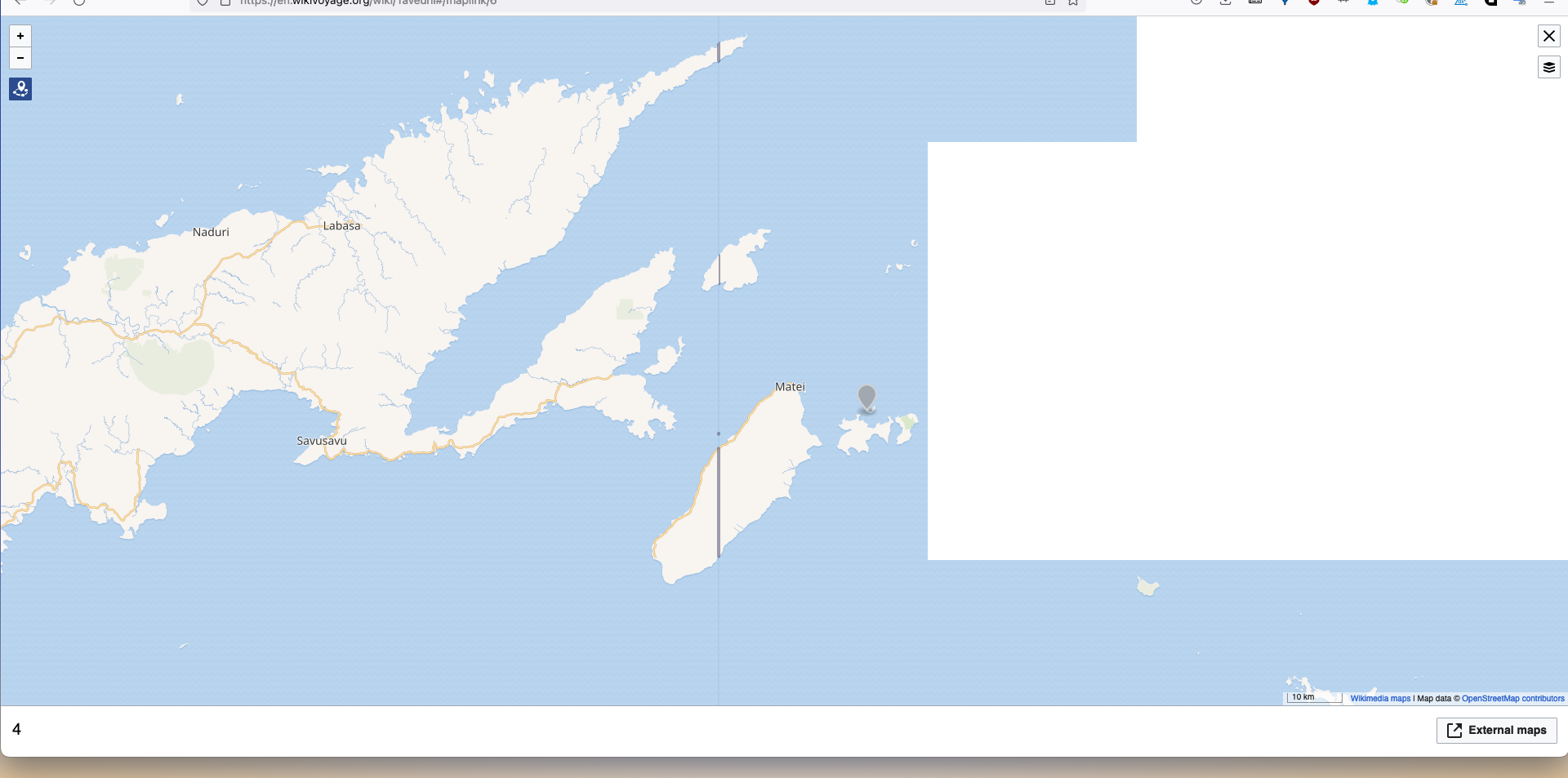 | Mostly happens while loading. | T309543 Add a note to the user when we have missing tiles |
| Annotations | [Dynamic] Geoshapes and markers missing |   | Should be possible to add an error message. See also T306987: [stub] Serve formatted error message image when mapdata cannot be found. May be because the mapdata is missing or unavailable. See also T308223. | Easy to add an i18n error annotation |
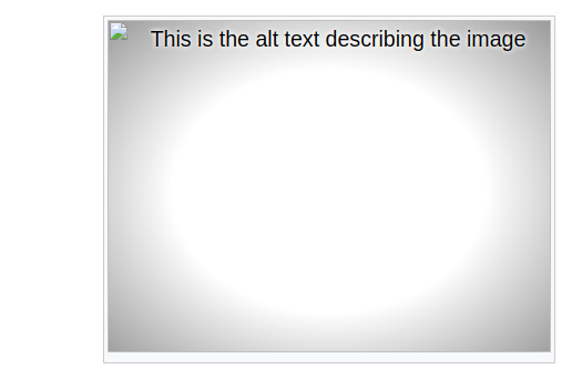
| Annotations | [Static] Plain map without any features/annotations | 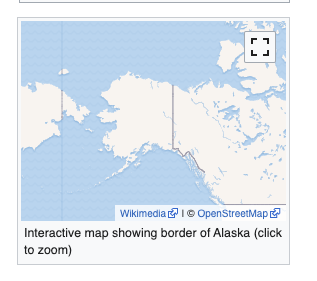 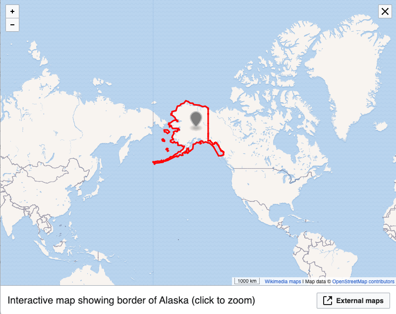 | Possible reason: Console showing an error message for a failed sparql query | T309522 Render error on the server side with i18n support |
| Out of scope? | Cropped labels |  | This is an OSM issue. See also T228812: Place names get cut off and unreadable on tile boundary. | |
| Out of scope? | Entire world is repeated twice |  | Happens when the map width is larger than the proper aspect ratio. This can also happen when a mapframe is set to automatically choose the bounding box based on a geoshape, but the shape doesn't load. | - Could limit the aspect ratio to never exceed one world - Crop off map on the sides |
Initial categorization of errors:
- No image is loaded at all.
- The water outline is rendered, but no map details.
- The base map is rendered, but no geojson overlays.
- The overlays are rendered, but no base layer.
- Corruption of the base map or overlay.